[67] This is probably the easternmost and loftiest peak seen from Katmandoo, distant 78 miles, and estimated elevation 20,117 feet by Col. Crawford’s observations. See “Hamilton’s Nepal,” p. 346, and plate 1.
To the west, the black ridge of Sakkiazung, bristling with pines, (_Abies Webbiana_) cut off the view of Nepal; but south-west, the Myong valley could be traced to its junction with the Tambur about thirty miles off: beyond which to the south-west and south, low hills belonging to the outer ranges of Nepal rose on the distant horizon, seventy or eighty miles off; and of these the most conspicuous were the Mahavarati which skirt the Nepal Terai. South and south-east, Sinchul and the Goong range of Sikkim intercepted the view of the plains of India, of which I had a distant peep to the south-west only.
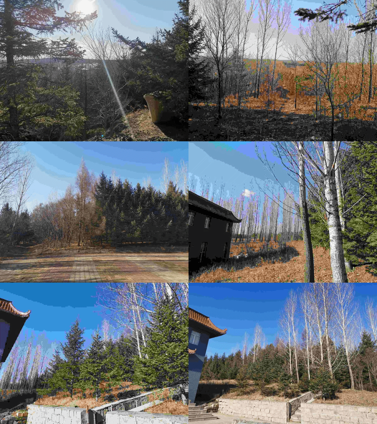
The west top of Tonglo is very open and grassy, with occasional masses of gneiss of enormous size, but probably not in situ. The whole of this flank, and for 1000 feet down the spur to the south-west, had been cleared by fire for pasturage, and flocks of black-faced sheep were grazing. During my stay on the mountain, except in the early morning, the weather was bleak, gloomy, and very cold, with a high south-west wind. The mean temperature was 41°, extremes 53·2/26°: the nights were very clear, with sharp hoar-frost; the radiating thermometer sank to 21°, the temperature at 3·5 feet depth was 51·5°.

A few of the Bhotan coolies having voluntarily returned, I left Tonglo on the 5th, and descended its west flank to the Mai, a feeder of the Myong. The descent was as abrupt as that on the east face, but through less dense forest; the Sikkim side (that facing the east) being much the dampest. I encamped at dark by a small village, (Jummanoo) at 4,360 feet, having descended 5000 feet in five hours. Hence we marched eastward to the village of Sakkiazung, which we reached on the third day, crossing _en route_ several spurs 4000 to 6000 feet high, from the same ridge, and as many rivers, which all fall into the Myong, and whose beds are elevated from 2,500 to 3000 feet.

Though rich and fertile, the country is scantily populated, and coolies were procured with difficulty: I therefore sent back to Dorjiling all but absolute indispensables, and on the 9th of November started up the ridge in a northerly direction, taking the road from Ilam to Wallanchoon. The ascent was gradual, through a fine forest, full of horn-bills (_Buceros_), a bird resembling the Toucan (“Dhunass” Lepcha); at 7000 feet an oak (_Quercus semecarpifolia_), “Khasrou” of the Nepalese, commences, a tree which is common as far west as Kashmir, but which I never found in Sikkim, though it appears again in Bhotan.[68] No oak in Sikkim attains a greater elevation than 10,000.] It forms a broad-headed tree, and has a very handsome appearance; its favourite locality is on grassy open shoulders of the mountains. It was accompanied by an _Astragalus, Geranium,_ and several other plants of the drier interior parts of Sikkim. Water is very scarce along the ridge; we walked fully eight miles without finding any, and were at length obliged to encamp at 8,350 feet by the only spring that we should be able to reach. With respect to drought, this ridge differs materially from Sikkim, where water abounds at all elevations; and the cause is obviously its position to the westward of the great ridge of Singalelah (including Tonglo) by which the S.W. currents are drained of their moisture. Here again, the east flank was much the dampest and most luxuriantly wooded.